KML 导出工具
在 KML 导出 标签页中,你可以将照片的地理位置信息和图像数据导出为 KML 文件,方便在其他软件中使用。**KML** 是 Keyhole Markup Language(钥匙孔标记语言)的缩写,是一种用来存储地理位置信息和可视化数据的 XML 格式,可以在 2D 地图或 3D 地球浏览器中显示。KML 最初是为 Google Earth 开发的,但现在很多开源软件也支持它。KML 已被 Open Geospatial Consortium (开放地理空间联盟)采纳为开放标准。
digiKam 地理位置编辑器将 GPS 信息导出为 KML 文件
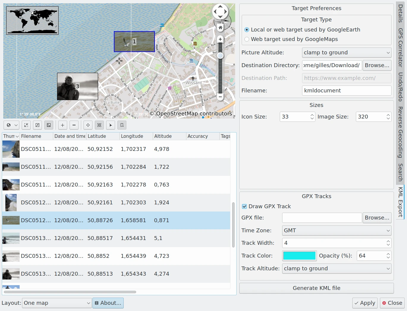
在右侧边栏的 KML 导出 标签页中,你可以通过多个设置项,从地理位置编辑器中已选的照片生成 KML 文件。可选设置如下:
Target Type: specifies which of two types of KML files should be generated: one for use with a local application such as Google Earth running on your computer, or another for use with a Web Application such as Google Maps.
Picture Altitude: specifies how to record the altitude of items. Options include Clamp To The Ground, Relative To Ground, or in Absolute.
Destination Directory: specifies the folder on your computer where you want to store the KML file.
Destination Path: specifies the url where you want to store the KML file. This option is enabled only if the Target Type is a Web Application.
Filename: the name of the KML file.
Icon Size: The dimensions of the image icon stored in the KML file and used by the KML viewer application to display thumbnails on the map.
Image Size: The dimensions of the image stored in the KML file and used by the KML viewer application to render images on the map.
Draw GPX Track: enable this option to include information from a GPX track in your KML container.
GPX File: the location of the GPX track file on your computer.
Time Zone: the world time zone used to record the GPX track.
Track Width: the width of the GPX track in pixels.
Track Color: the color used to render the GPX track.
Opacity: the opacity used to render the GPX track.
Track Altitude: specifies how the altitude of GPX track items should be displayed. Options include Clamp To The Ground, Relative To Ground, or in Absolute.
点击 生成 KML 文件 按钮后,程序会创建 KML 文件。如果出现错误,会弹出对话框列出问题所在。生成后,你就可以在地图查看器中打开这个 KML 文件。
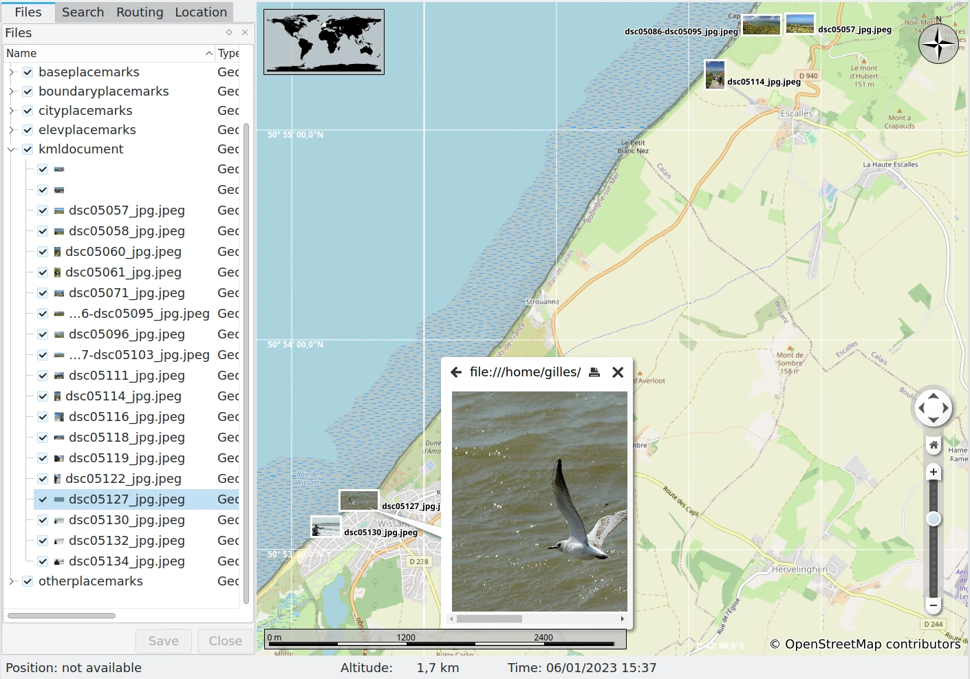
如图中所示的 开源软件 Marble 就能很好地导入由 digiKam 生成的 KML 文件