KML Export Tool
The KML Export tab allows you to export location and image data as a KML files for use in other applications. **KML**, which stands for Keyhole Markup Language, is an XML format for storing geographic and visualization data for display on two-dimensional maps and three-dimensional Earth browsers. KML was developed for use with Google Earth but open-source applications can also use the format. KML is an open standard from the Open Geospatial Consortium.

The digiKam Geolocation Editor Exporting GPS Info into a KML File
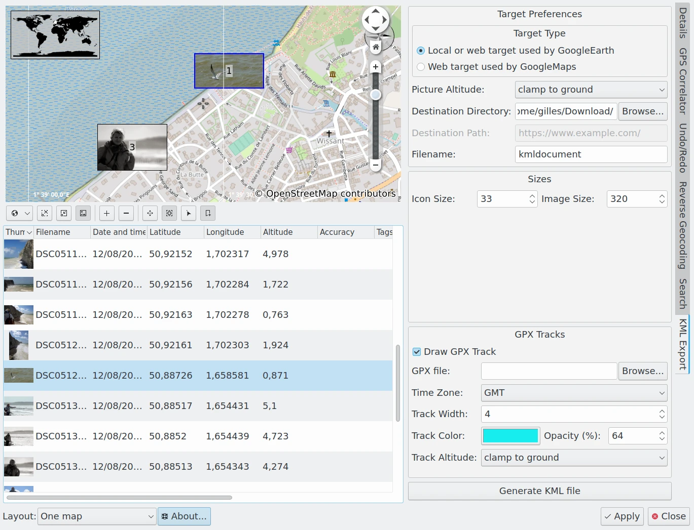
The KML Export tab on the right sidebar provides several settings to generate a KML file from the list of selected items in the Geolocation Editor.
Target Type: specifies which of two types of KML files should be generated: one for use with a local application such as Google Earth running on your computer, or another for use with a Web Application such as Google Maps.
Picture Altitude: specifies how to record the altitude of items. Options include Clamp To The Ground, Relative To Ground, or in Absolute.
Destination Directory: specifies the folder on your computer where you want to store the KML file.
Destination Path: specifies the url where you want to store the KML file. This option is enabled only if the Target Type is a Web Application.
Filename: the name of the KML file.
Icon Size: The dimensions of the image icon stored in the KML file and used by the KML viewer application to display thumbnails on the map.
Image Size: The dimensions of the image stored in the KML file and used by the KML viewer application to render images on the map.
Draw GPX Track: enable this option to include information from a GPX track in your KML container.
GPX File: the location of the GPX track file on your computer.
Time Zone: the world time zone used to record the GPX track.
Track Width: the width of the GPX track in pixels.
Track Color: the color used to render the GPX track.
Opacity: the opacity used to render the GPX track.
Track Altitude: specifies how the altitude of GPX track items should be displayed. Options include Clamp To The Ground, Relative To Ground, or in Absolute.
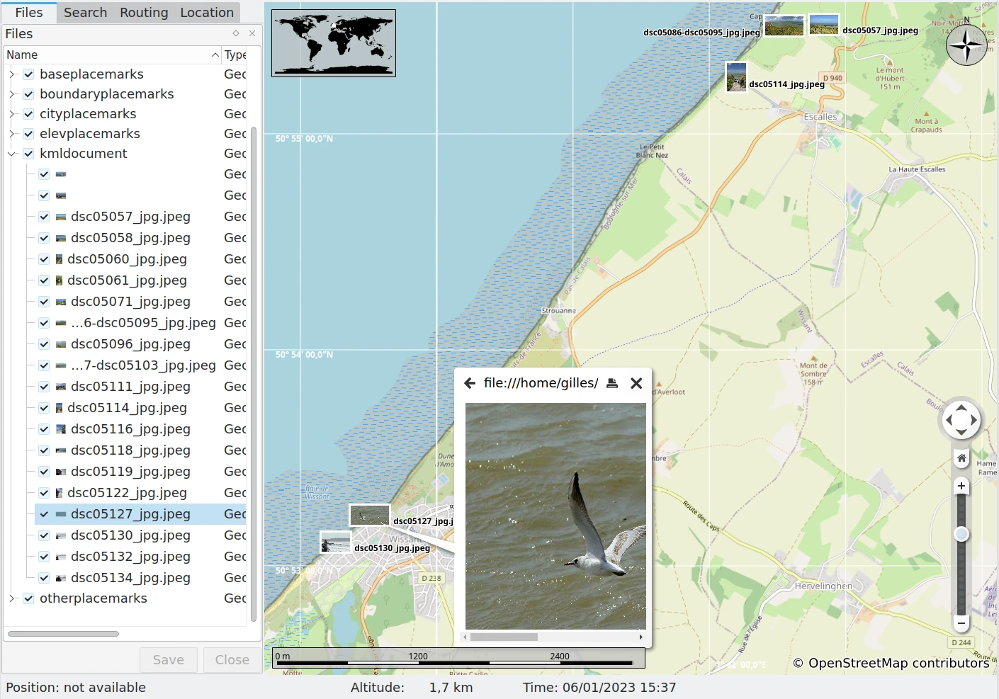
Click the Generate KML File button to generate the KML file. If errors occur, a dialog will be displayed with the list of problems. Once exported, the KML file can be opened in a Viewer as in the screenshot below.

The Open Source Marble Application Importing a KML File Generated From digiKam